Industry Solutions
Seven industry verticals, each with tailored compliance workflows, detection models, and reporting. Capture with your iPhone Pro or OnXR handheld scanner, each vertical gets the recommended device. One platform, built for the regulations you answer to.
Construction projects suffer from poor visibility, site progress is tracked through manual walk-throughs, safety compliance relies on paper checklists, and disputes over as-built conditions drag on for months.
CDM Regulations 2015 and rising insurance costs demand rigorous documentation, safety evidence, and change tracking throughout the build lifecycle.

Site managers, BIM coordinators, H&S officers, and quantity surveyors all use the same 3D record, cutting hand-offs, disputes, and rework.
Traditional methods vs OnXR walkthrough capture, per 1,500 m² floor.
Walk the site with OnXR handheld scanner for measurement-grade evidence at any build stage, or capture visual documentation with an iPhone Pro.
Converted into a high-fidelity 3D Gaussian Splat model.
AI identifies safety assets, installed equipment, and structural elements.
Re-scan to track progress, verify installations, document as-built.
Photorealistic 3D models with date-stamped asset data become part of the permanent health and safety file.
AI detection reports provide auditable evidence of safety equipment at every stage of the build.
Automated change detection between site captures highlights structural changes, removed plant, and new hazards, providing objective before/after evidence across the build lifecycle.
Upload LAS/E57/LiDAR scans across 8+ formats and convert to Autodesk ReCap RCP for Revit, Navisworks, and BIM coordination, connecting site capture directly to the design model.

Outdated floor plans, manual asset registers, reactive compliance, and paper-based fire safety audits. FM teams manage buildings with tools that haven't evolved in decades.
The Building Safety Act 2022 mandates a "Golden Thread" of digital information for higher-risk buildings. Non-compliance carries criminal penalties.
Building managers, compliance officers and field engineers all work from the same evidence pack, ready for the inspector before they arrive.
Statutory inspection pass-rate, paper register vs OnXR evidence pack.
Live heatmap overlay on the digital twin shows zone-by-zone occupancy in real time. Monitor capacity across every floor, track peak hours, and receive alerts when spaces approach maximum capacity, all visualised directly on the 3D model.
Direct integration with Access Control systems (SALTO, Paxton, Gallagher, Lenel) feeds real-time door events and badge data into the digital twin. See who is where, track visitor flow, and correlate access events with spatial occupancy data.
Combine access-control door events with IoT sensors, PIR occupancy counters, CO₂ levels, temperature, and humidity, all spatially anchored to zones within the 3D model for a unified building intelligence view.
Automated alerts when zones approach fire-rated maximum occupancy. Historical trend analysis identifies peak usage patterns to inform space planning and emergency evacuation strategy.
Insurance is a visual evidence business. Most surveys and claims need a faithful, timestamped, immutable record, not always survey-grade geometry. OnXR turns every site visit into a spatial evidence pack: pre-loss baselines, before/after comparison and an Audit-ready evidence trail, captured on the iPhone your surveyors already carry.
Verified spatial evidence at inception, immutable pre-loss baselines, and before/after scans that resolve disputed claims fast.
Time from First Notification of Loss to evidence-pack decision, traditional vs OnXR.
Pre-loss 3D baselines replace self-declared schedules, defensible asset evidence at inception, accurate sums-insured, fewer renewal surprises.
Automated change detection between scan dates, objective, court-defensible evidence of condition at any point in time.
Surveyors review properties from the desk, spatial evidence, gap analysis, and risk improvement verification without re-attending site.
Risk-band and compliance-status dashboard across the entire book, filter for renewal triage and underwriting prioritisation.
Pre and post-loss comparison exposes staged or exaggerated damage that flat photography misses, objective spatial evidence for the SIU.
Every capture is immutable and timestamped, with full case documentation in one place, consistent, evidenced claims handling aligned to FCA conduct rules.
Routine residential and single-property claims, remote surveys and fraud comparison, on the device every loss adjuster already carries.
Defensible geometry for larger commercial risks and litigated claims, accuracy that reduces the risk of overpayment.
Indicative accuracy; varies with capture conditions and the size of the space.
Physical security relies on disconnected CCTV, manual patrols, and static reports. OnXR unifies real-time LiDAR tracking, live IoT sensors, and occupancy analytics inside a photorealistic 3D digital twin, giving security teams a single, live operational picture.
Control-room operators, CTSAs, and patrol leads work from one live spatial picture, CCTV, LiDAR tracks, IoT and patrol logs all anchored to the building.
Time to confirm full perimeter coverage and locate an active threat.
Camera positions and field-of-view cones overlaid on the 3D twin, instant identification of dead zones for SIA / Martyn’s Law audit evidence.
Anonymous live tracks fused into the 3D model, loitering, zone breach, and crowding alerts within seconds.
Patrol routes and access-control events anchored to the 3D twin, complete spatial audit trail for incident review and SIA reporting.
Documented vulnerability assessment, mitigation plan, and exercise rehearsals tied to the 3D venue model, compliant evidence for the Protect Duty.
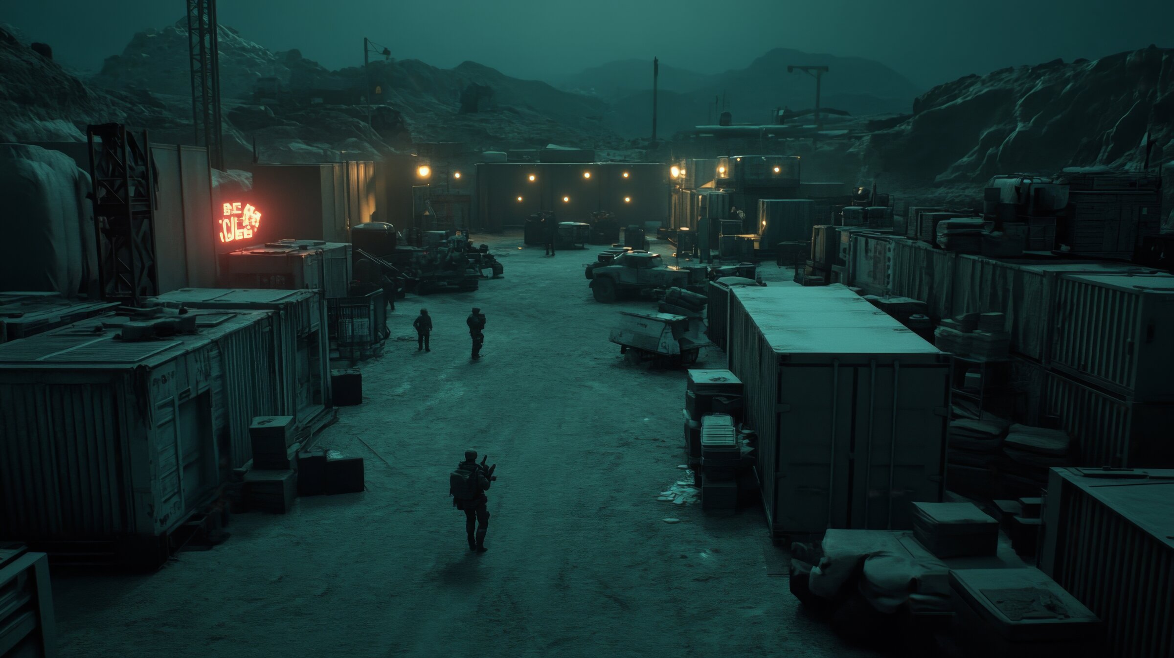
The MoD estate, approximately 1,400 sites, relies on paper floor plans, static CCTV, and siloed access control. The defender's greatest gaps, Find and Fix, are precisely where spatial intelligence adds the most value.
OnXR maps directly to ISTAR doctrine (AJP-2.7 / AJP-3.14), occupying the tactical spatial layer between the sensor edge and operational C2, the installation-level gap that enterprise C2 and GIS tools leave open.
Installation commanders, force-protection planners and ISTAR teams operate on one shared 3D installation picture, UK-hosted, sovereign, and OFFICIAL-SENSITIVE-ready.
Refresh interval for the authoritative 3D installation record.
The tactical 3D layer between sensor edge and operational C2, closes the installation-level gap that enterprise C2 and GIS tools leave open.
Vulnerability mapping, perimeter coverage and ingress/egress modelling on the live installation twin, rehearsable scenarios with measurable gaps.
Automated weekly comparison surfaces unauthorised modifications, perimeter breaches, or asset relocations, defender’s edge against insider and adversary tampering.
UK-hosted, air-gappable, OFFICIAL-SENSITIVE-cleared architecture, no overseas dependency, full crown-served data path.
Pick the sector that matches your remit, we’ll take you straight to the relevant capabilities, regulations and outcomes.
FAQ
Sector-specific questions OnXR is asked most often by buyers in construction, FM, insurance, security and defence.
Yes. OnXR captures date-stamped 3D Gaussian Splat evidence at every build stage — health and safety files, site safety detections, rescan-to-rescan change detection, and point cloud exports to Autodesk ReCap RCP for Revit and Navisworks. Site managers, BIM coordinators, H&S officers and quantity surveyors all work from the same 3D record.
OnXR generates the immutable, date-stamped audit trail that BSA 2022 requires for higher-risk buildings — detected fire safety assets pinned to a photoreal twin, change detection between inspections, and exportable evidence packs that present cleanly to the Building Safety Regulator. Maps to SFG20, RRO Fire Safety Order, and Fire Safety (England) Regs 2022.
Yes. OnXR's pre-loss 3D baselines replace self-declared schedules at inception — defensible asset evidence, accurate sums-insured, before-and-after change detection for claims, and a portfolio-wide risk-band view. Aligned to FCA conduct rules, evidence is immutable and date-stamped. Loss adjusters can review properties from the desk without re-attending site.
OnXR overlays CCTV coverage cones, LiDAR person tracking with anonymous trajectories, patrol and access-control trails, and documented vulnerability assessments — all anchored to a 3D venue model. Dead zones, blind spots and crowding patterns surface automatically. The output is compliant evidence for the Protect Duty, SIA audits, and CTSA reviews.
Yes. OnXR is designed with defence and security sector requirements in mind, including UK sovereign hosting, controlled data residency, and air-gappable deployment for high-classification work. Common operating picture for fixed installations, force protection planning, change detection for unauthorised modifications, and full crown-served data path on request.
Typical OnXR pilot setup is two to four weeks from commercial sign-off to first captured site. The first floor captures in under four hours; reconstruction and AI detection complete in hours. Pilots run on either capture device — iPhone Pro for FM, Insurance and Security; OnXR handheld scanner for Construction, QS and Defence work.